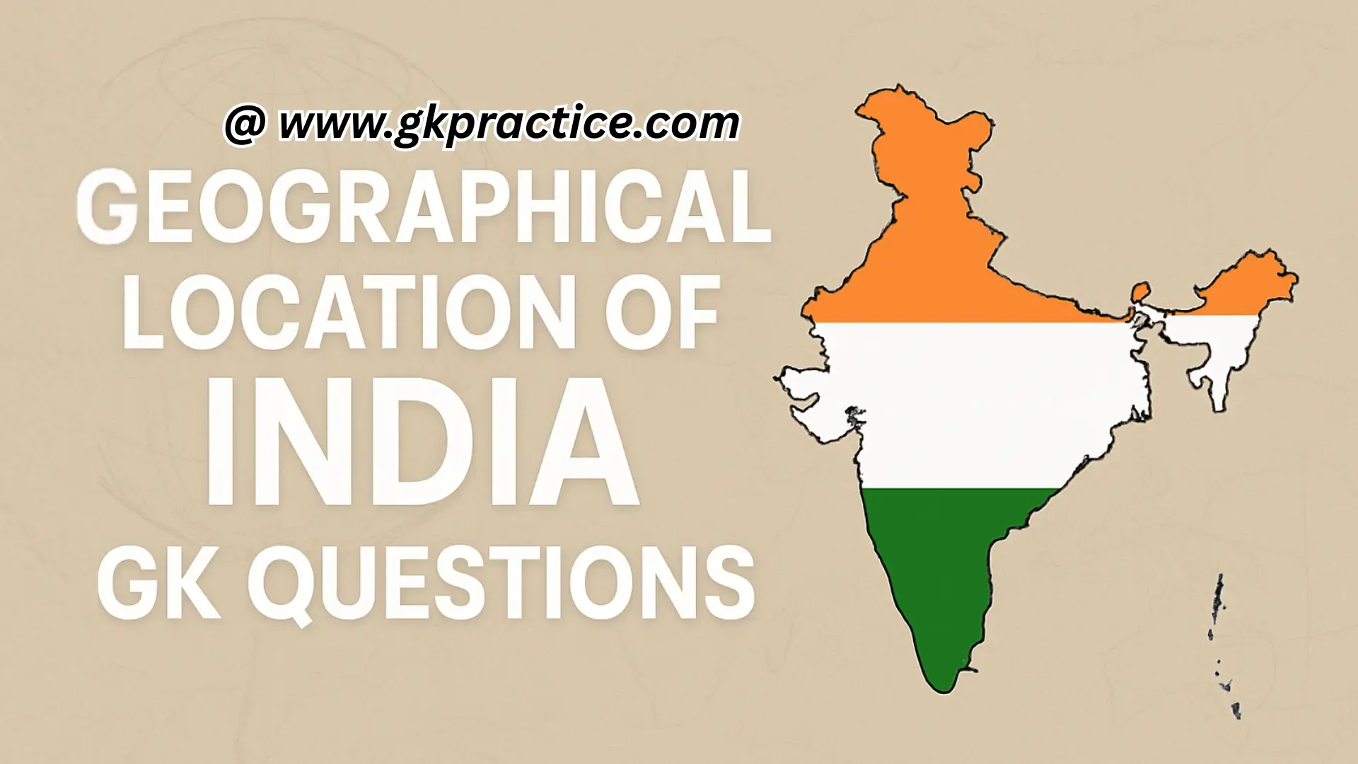
Prepare for SSC, Railway, Banking, UPSC, and State PSC exams with our collection of Geographical Location of India GK Questions and Answers. Learn about India’s latitudinal and longitudinal extent, boundaries, neighboring countries, and important geographical facts. Boost your static GK preparation with these exam-ready Q&A.
Important Geographical Location of India GK Questions for Competitive Exams:-
Q1) India lies in which hemisphere of the Earth?
a) Northern and Western
b) Northern and Eastern
c) Southern and Eastern
d) Southern and Western
Explanation: India is located entirely in the Northern Hemisphere and the Eastern Hemisphere. Its latitudinal extent is north of the Equator, and its longitudinal extent is east of the Prime Meridian.
Q2) Which latitudinal line passes almost halfway through India?
a) Equator
b) Tropic of Cancer
c) Tropic of Capricorn
d) Arctic Circle
Explanation: The Tropic of Cancer (23°30’N) passes almost through the middle of India. It divides the country into roughly two equal halves – the northern temperate zone and the southern tropical zone.
Q3) What is the latitudinal extent of India?
a) 8°4’N to 37°6’N
b) 6°4’N to 38°6’N
c) 7°4’N to 39°6’N
d) 9°4’N to 36°6’N
Explanation: India extends between 8°4’N and 37°6’N latitudes, giving the country a vast climatic diversity from tropical in the south to temperate in the north.
Q4) What is the longitudinal extent of India?
a) 68°7’E to 97°25’E
b) 67°7’E to 98°25’E
c) 69°7’E to 96°25’E
d) 70°7’E to 99°25’E
Explanation: The longitudinal extent of India is from 68°7’E to 97°25’E. This large span results in nearly two hours of time difference between the easternmost and westernmost parts.
Q5) Which of the following states does NOT lie on the Tropic of Cancer?
a) Rajasthan
b) Chhattisgarh
c) West Bengal
d) Maharashtra
Explanation: The Tropic of Cancer passes through 8 Indian states: Rajasthan, Gujarat, Madhya Pradesh, Chhattisgarh, Jharkhand, West Bengal, Tripura, and Mizoram. Maharashtra lies south of the Tropic.
Q6) Which is the southernmost point of India (mainland)?
a) Indira Point
b) Kanyakumari
c) Cape Comorin
d) Kovalam
Explanation: On the mainland, the southernmost point is Kanyakumari (Tamil Nadu). However, the southernmost point of the entire Republic of India is Indira Point (Nicobar Islands).
Q7) Indira Point is located in which island group?
a) Lakshadweep
b) Andaman
c) Nicobar
d) Maldives
Explanation: Indira Point is the southernmost tip of India, located in the Great Nicobar Island. It got submerged during the 2004 tsunami but later re-emerged partially.
Q8) Which is the standard meridian of India?
a) 82°30’E
b) 90°30’E
c) 80°30’E
d) 75°30’E
Explanation: The standard meridian of India is 82°30’E longitude, passing near Mirzapur in Uttar Pradesh. Indian Standard Time (IST) is calculated from this line.
Q9) What is the time difference between India’s easternmost and westernmost points?
a) 1 hour
b) 2 hours
c) 1.5 hours
d) 30 minutes
Explanation: The longitudinal span of India (about 30°) creates a time difference of about 2 hours. To avoid confusion, IST is fixed at 82°30’E.
Q10) Which neighboring country lies to the north of India?
a) Bhutan
b) Nepal
c) China
d) Myanmar
Explanation: China lies directly north of India, across the Himalayas. Nepal and Bhutan are also northern neighbors but are smaller.